Tobas de Colores, Barranco de Guayadeque and Agüimes – practical information
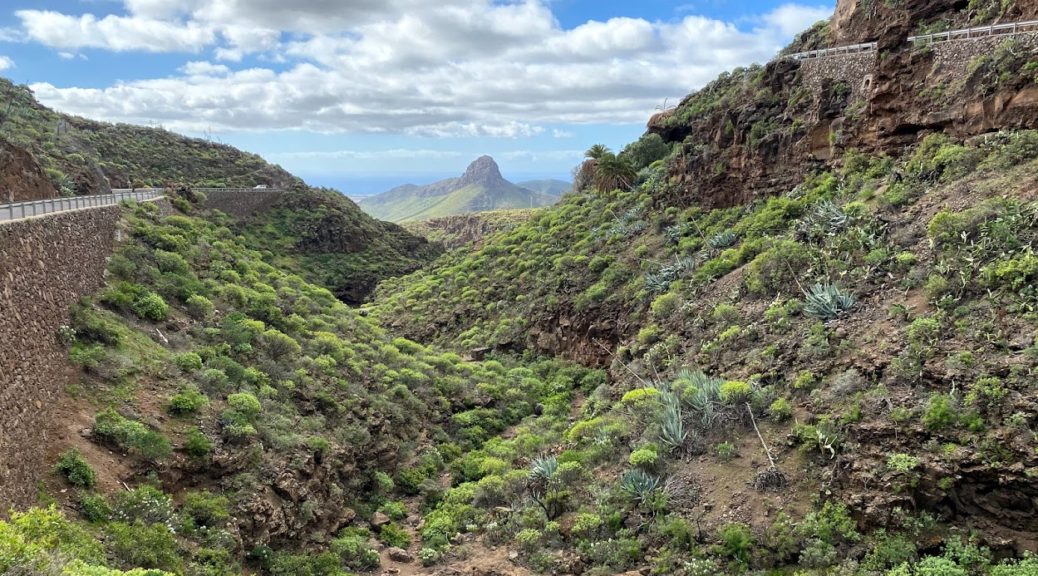
Barranco de las Vacas together with the famous Tobas de Colores and Barranco de Guayadeque, i.e. two neighboring ravines, deserve their own separate blog post. That’s where we went on our first trip and immediately fell in love with the Canarian landscapes.
We started the day with Barranco de las Vacas. We wanted to see the famous Tobas de Colores, or rock formations resembling the American Antelope Canyon. From the articles found on the Internet, we knew that it is hard to park and find the entrance to the ravine itself, so I did prepare a map especially for you, where I have marked out where we parked and where you can go down to the ravine. We parked the car as marked on the map, but initially we didn’t notice the path leading downhill, so we walked down the street instead, to the place marked on the right (about 500 meters by road). Then you should follow the rocky path towards the tunnel under the road, which also serves as the entrance to the rest of the ravine. The hike itself is not long but very bumpy so good shoes are recommended. We met only a few people along the way, but a professional photo session was taking place in Tobas de Colores itself, so unfortunately we couldn’t take photos in the “best” of the spots. We returned to the car along the path leading left on the map.
Our kids loved it there. Gabriela told me to take pictures all the time, because it was so beautiful there, and Adam was our guide that day and did not allow anyone overtake him.
Of course, those who want can enter the ravine much earlier and hike a much longer route along its bottom, but if you are only interested in this last part, I hope our tips will be useful 🙂


Another highlight of our day was the nearby Guayadeque ravine, famous for its large number of cave houses. Many of them are still inhabited and some have interesting restaurants. So if you are going on a trip there, make sure to eat in one of them. When entering the ravine from Agüimes, the first restaurants are already 5 km away. However, we advise you to go to the very end of the ravine (another 4 km) and eat in one of restaurants located there (we lunched at Tagoror), and walk the short (0.5 km) circular trail Sendero Montaña las Tierras, which will lead you, among others, to a charming shop with souvenirs and local products. If you have more time (strength and will), you could continue on the trail towards Pico del las Nieves (the route to the top is several kilometers long, but you could choose to hike at least a bit of it).


Our last point of the day was the small town of Agüimes, which lies at the entrance to both ravines. We stopped near the church of St. Sebastian and Plaza del Rosario. We walked through the charming streets of the city, looking for bronze sculptures: we met a donkey, a camel, musicians, a dancing couple and others. Then, stocked with ice cream and pastry from Dulceria Brasil, we found a playground 🙂 Perfect trip for half a day!


