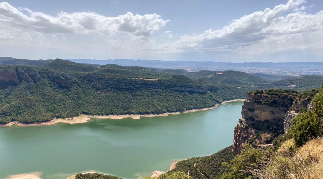
The valley of the River Ter and Lake Panta de Sau
If you spend your holidays in Catalonia and you are temporarily fed up with the beaches on the Costa Brava and the city stench of Barcelona, or you just want to enjoy the beautiful views away from the beaten tourist routes, we recommend a trip through the Ter valley, especially around the dam Panta de Sau.
Initially, I marked quite a lot of viewpoints on the map, but when planning the trip it turned out that it was not that easy to go around the reservoir and it would take us several hours (there are simply no roads close to the shore, and the ones that are very winding and narrow). As a result, we decided to only visit a few viewpoints and return to Barcelona along the same route.
Poblat ibèric de l’Esquerda – these are the ruins of the Iberian village of Esquerda, located near the present-day town of Roda del Ter. The village was inhabited between the 8th and 14th centuries. It is estimated that at the time of maximum occupancy it could accommodate one hundred houses and about five hundred people. One wall of the church, tombs carved in the ground and the exact outline of individual buildings have survived to the present day.

Mirador del Ter – this is the first viewpoint we reached. According to the information on google, unfortunately it is not easy to get there. There are no signs, only a narrow path. As a result, only Tomasz reached the right vantage point, from which there is a beautiful panorama on the bend of the River Ter and Monestir de Sant Pere de Casserres (a medieval Benedictine monastery lying on a narrow headland on the opposite side of the river). The rest of us made it to the point a little lower, where we found mostly abandoned buildings (supposedly the old Diving Club) and a lot of rubbish, and then the rain chased us to the car 🙂

Mirador Collsacabra – is a viewpoint over the valley, the bottom of which flows the Riera de Balà stream. There is a designated parking space by the road so it’s safe to stop and take photos 🙂

Morro Blanc – this is the first viewpoint on the road from the town of Travertet towards Mirador de Vilanova de Sau.
Do not trust the roads marked on google maps in this area. Some of them are narrow paths that the car will not go through, and some of them do not exist at all (I was standing on the edge of the rock, and google maps suggested I go straight ahead …)


Mirador de Vilanova de Sau – it is undoubtedly the best viewpoint we have reached. It offers a beautiful panorama of Panta de Sau – a water reservoir created in the 1960s after the construction of a dam on the River Ter. As a result of the reservoir, the town of Sant Romà de Sau was flooded and the church tower, which is still visible depending on the water level, has become a symbol of the area. The Mirador itself can be reached by car by a gravel road, but contrary to what Google tells us, we must rather get to the next point of Puig de la Força on foot.

